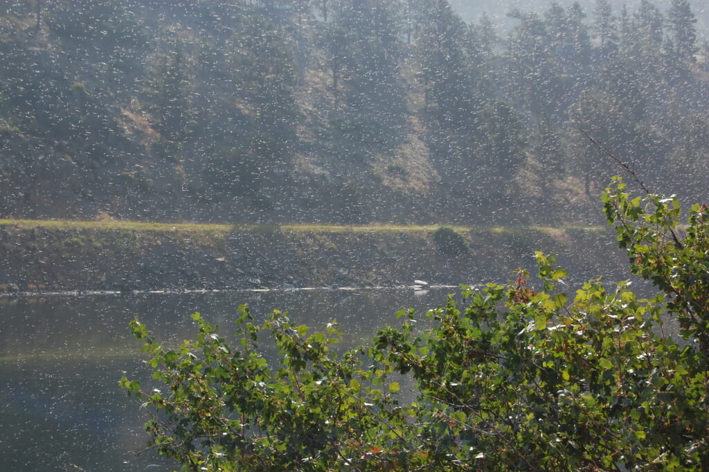
Early October on the MO’
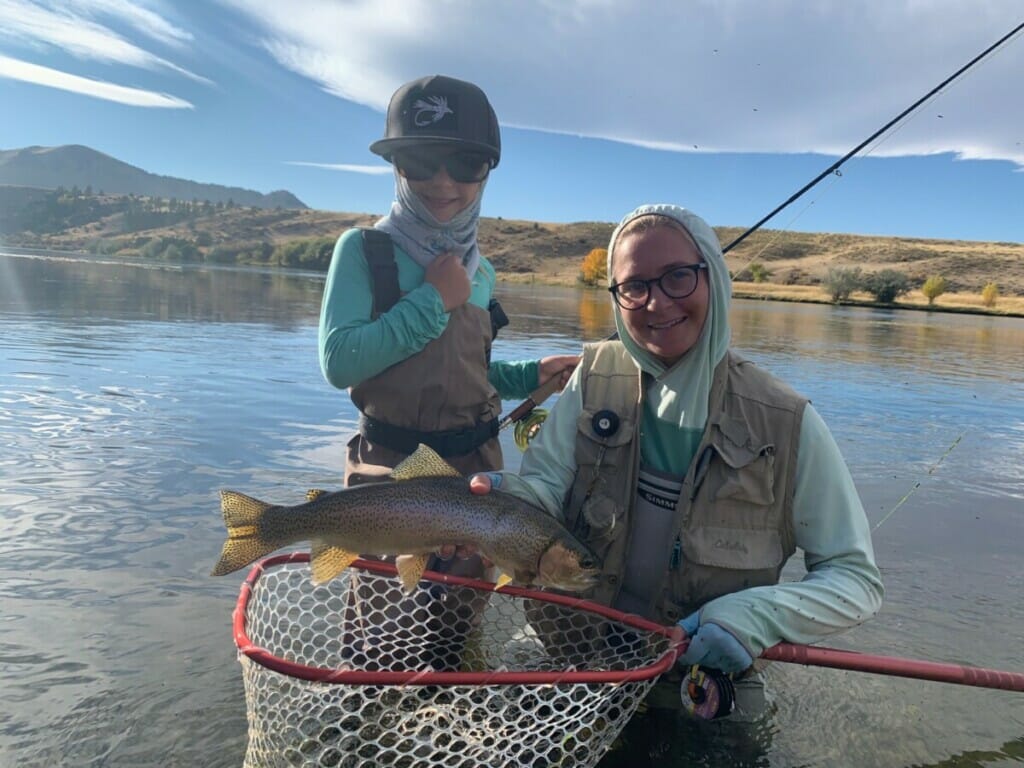
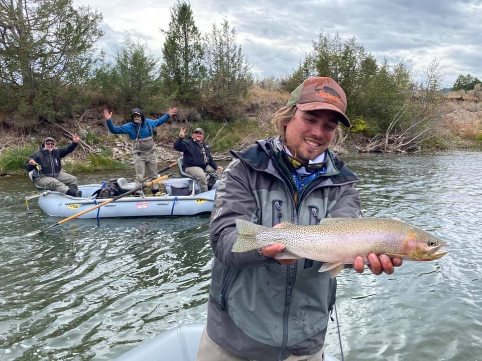
Fall fishing at its finest. Mom with the assist, netting this Missouri River beast hooked and fought solo by Emma Lawrance. Way to go! Photo by Matthew Lawrance
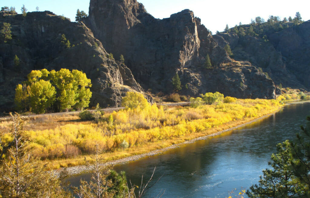
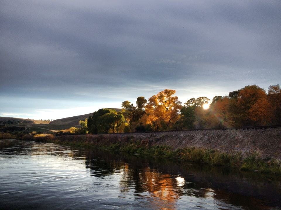
A couple of weeks into autumn and we’re still waiting for some hint of fall weather.
We’ve had an abundance of sunny, cloudless days with temps holding in the 70’s which is not exactly what you would expect for the first week of October. It definitely feels like fall in the mornings but we’ve yet to have a day where you need a jacket past 10 am.
Water temps are dropping slowly but still hanging in that 58 – 59 degree range and flows are as low as I’ve seen them, currently just shy of 3300 CFS, well below what we normally see this time of year which is somewhere in the 4000 CFS range. Last year at this time we were seeing flows of 4500 CFS with water temps at 54 degrees and dropping. It’s definitely a different year in more ways than one, not the least of which is low water on the MO.
Not to despair though as fishing should do nothing but improve from here on out.
We’ll see a cool down starting Sunday with highs only in the low 50’s and overnight lows dipping into the high 30’s. There’s a chance for some rain and snow showers as well so keep your fingers crossed, we could see BWO’s next week. In the meantime keep those nymphing rigs at the ready or suck it up and commit to throwing the big stuff, weeds be damned.
As stated, nymphing has been the go-to for numbers with most of the traffic concentrated between Holter Dam and Craig. Best bugs have been black or purple Zebra midges, Red 2 Bit Hookers, Brown S & M’s, Little Green Machines, BWO Redemption, Jujus, Tailwater Sows, Frenchies, Pill Poppers and Rainbow Czechs. The crayfish bite seems to have come to an end though I wouldn’t necessarily rule it out completely. Always worth at least a try.
We’ve had a lot of inquiries about dry fly fishing the last week or so and even had a few trips out who were pretty intent on hunting heads. Unfortunately that’s really not a thing right now. That’s not to say there aren’t some opportunities out there if you really work at it and put your time and your miles in but we are definitely languishing in the in between as we await the more fall-like weather and hopefully the bugs that accompany it.
The warm temps and lack of a freeze mean there are still plenty of hoppers around so we are still encouraging folks to blind fish hoppers and ants and October Caddis are a good call as well. Drop a nymph, trail a smaller terrestrial or fish it solo. It’s certainly not as productive as straight up bobber fishing but it’s hard to beat that take on a big dry.
The streamer bins have been getting a lot of attention this past week and it sounds like things are improving daily out there. Like I said, if you’re going to fish streamers you ought to commit to doing it all day long. Like the dry/dropper, it’s a low-percentage method but the return is well worth the investment. The weeds are frustrating to be sure but once you work though all of that and find the right water and the right bugs it’s game on! A few chases, a few takes and you’ll be hooked. Or maybe not, but most of the streamer crowd with whom we run are fully committed (or in some cases should be committed) and passionately addicted and live for fall streamer fishing. I don’t think I know anyone who merely dabbles in the streamer game. You’re either all in or you’re out.
Stop in and check out our streamer selection. Some have proclaimed it to be the best on the MO’. And while you’re at it, if you are in the market for a new streamer stick we’re wheeling and dealing during our annual fall rod and reel sale with 25% off all rods and reel…now until they’re gone.
New shop hours are in effect this week. 7:30 AM – 5:00 PM Monday – Saturday and 7:30 – 4:00 PM Sundays. We are your one stop destination shop on the Missouri River. The hardest working, most professional guides on the river, clean and affordable lodging, Adipose drift boat rentals, shuttles, bugs, Simms boots, waders and accessories and much much more.

